Download geocaching software for your Garmin eTrex Summit HC GPS!

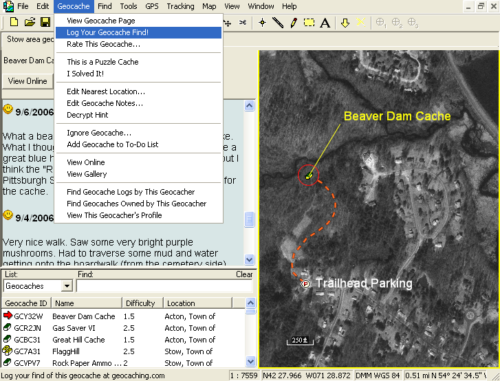
ExpertGPS is the ultimate geocaching software for your Garmin eTrex Summit HC. ExpertGPS lets you map your Geocaching.com .loc files and GPX Pocket Queries over USGS topo maps, aerial photos, and worldwide street maps. See exactly where the cache lies, and draw the route you'll take to the geocache. Use ExpertGPS to download all of the geocaches and the routes you'll take to your GPS, and to print high-resolution maps to carry with you.
When you're back home, use ExpertGPS to view the tracklog from your Garmin eTrex Summit HC and see exactly where you've been. ExpertGPS works with all your favorite programs, like Google Earth, MapSource, and GSAK.
Try ExpertGPS for free with your Garmin eTrex Summit HC today!
Download ExpertGPS for free and start mapping geocaches with your Garmin eTrex Summit HC today!
© 1998-2022 TopoGrafix – 24 Kirkland Dr, Stow, MA, USA
Try ExpertGPS: Advanced Geocaching and Mapping Software with Topo Maps and Aerial Photos